The missions served.
Thank you! Your submission has been received!
Oops! Something went wrong while submitting the form.
- Detect-to-Engage
- 2026
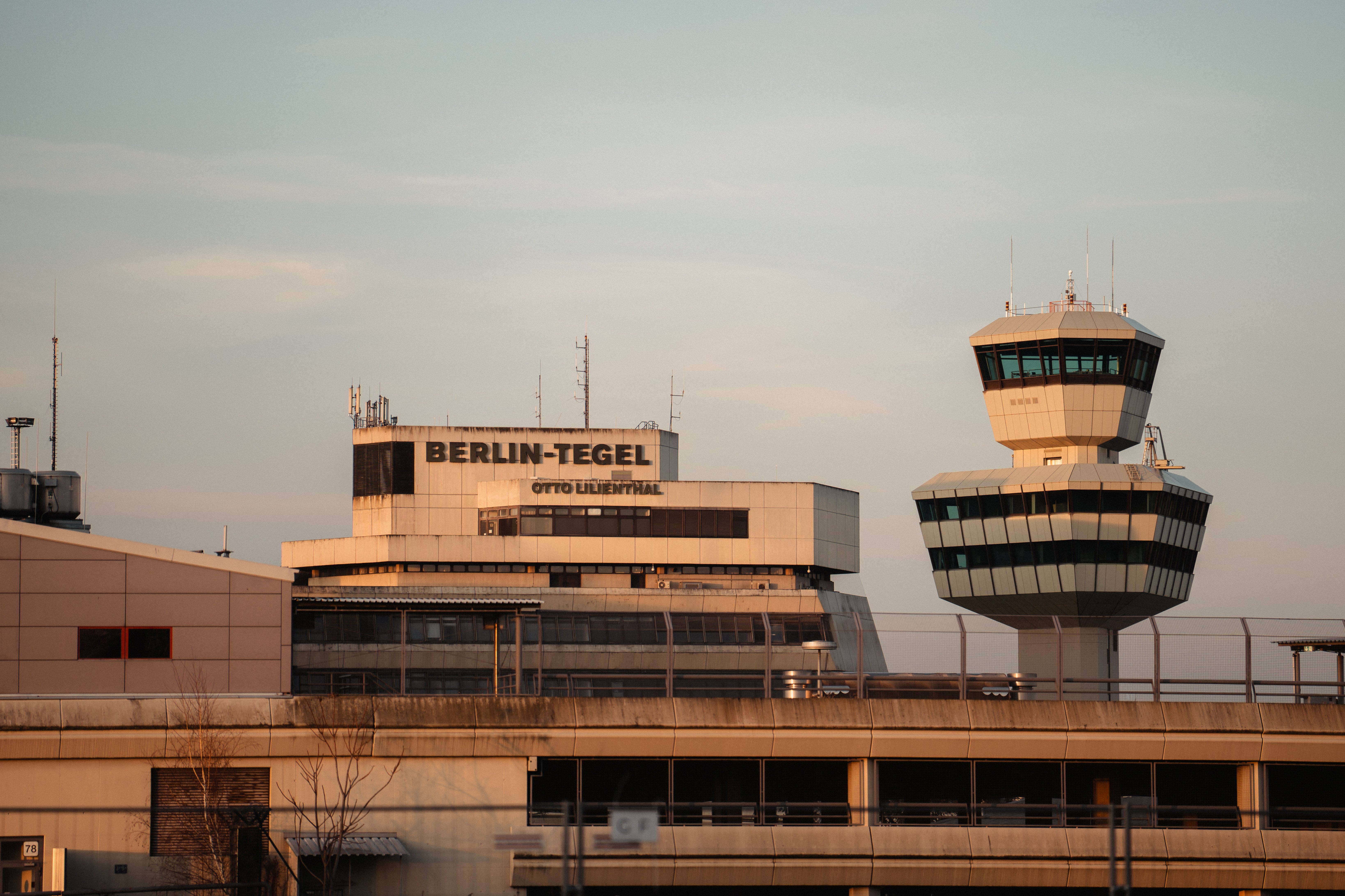
Counter-UAS | Monitoring Lower Airspace
Bringing radar, optical, and acoustic detection together into a single operational picture of the lower airspace that distinguishes registered flights from unauthorized ones and flags no-fly-zone breaches.
- Multi-sensor detection — radar, optical, and acoustic sensors fused into a single operational picture
- Registered vs unauthorized — every track checked against the existing booking record
- No-fly-zone alerts — breaches flagged and tied to the drone and its operator

- Sense-to-Warn
- 2026
Legacy Sensor Integration | CBRN reconnaissance
Integrating the Bundeswehr's fielded CBRN sensors into a continuous sensor-to-decider chain - reducing the time from measurement to NATO-standard reporting from hours to minutes, without replacing a single sensor.
- Legacy sensor integration — Digitize and enhance the value of the installed sensor base
- Multi-platform deployment — Hydris on the dismounted operator's EUD and the command laptop
- One networked picture — every node is a peer, not a terminal to a central server
- Track-to-Avoid
- 2026
Maritime Domain Awareness | Collision avoidance
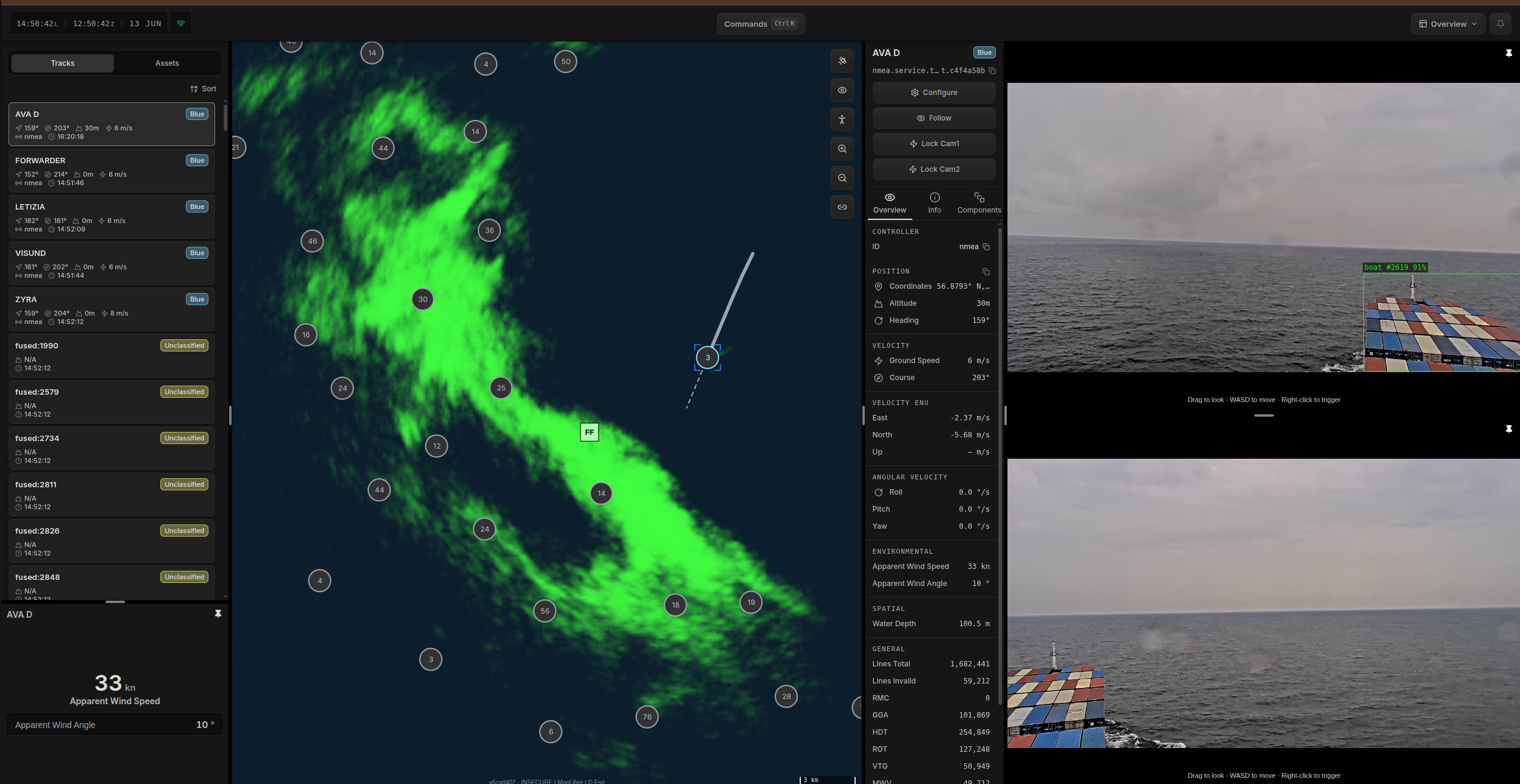
Fusing a vessel's onboard and COTS sensors into a consolidated situational picture that detects the contacts AIS misses, fully offline and independent of GNSS.
- Onboard sensor fusion — radar, AIS, and EO/IR cameras fused at the edge
- Offline operation — no dependence on GNSS or a shore connection
- Operating Beyond AIS — tracks contacts AIS does not report